Urban land-use and heat analysis in major cities of the Critical 9 countries - how to use the maps
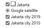
The city name (Jakarta in this case) has the city’s boundary layer. You can toggle it on or off to display or hide city boundaries.
Google satellite map is an always on setting of the underlaying current satellite map available from google maps.
City 2019 map displays the city’s land use and land cover in the year 2019. You can toggle it on or off to display or hide city’s land use in the year 2019.
City 2015 map displays the city’s land use and land cover in the year 2015. You can toggle it on or off to display or hide city’s land use in the year 2015.
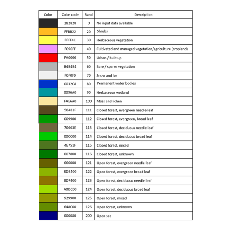
The colors in the 2015 and 2019 land use maps can be understood by the following reference: